Day 2 afternoon ~ Cranbrook to Waterton Lakes
After a thoroughly enjoyable look around Cranbrook’s Elizabeth Lake, we headed east with some concern about reports of severe weather in southwestern Alberta. We were headed for Waterton Lakes National Park where we hoped to put our new camping system to the test for the first time outside BC.
NOTE: Click any single photo to view it enlarged in a new tab. To return to this page, click your browser’s back button….
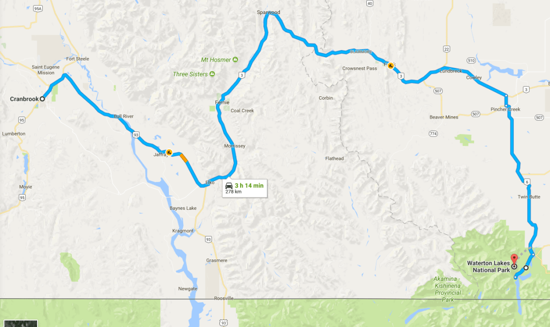
Our route took us, for the second time, over the Kootenay River which we had first crossed at Creston. This major waterway of southeastern BC has its headwaters not far from those of the Columbia. The latter flows north before turning west and flowing south towards Castlegar and Trail, while the Kootenay flows south, into the US before turning west, then north and up to Kootenay Lake, where, just east of Nelson, the river exits the lake and flows west towards Castlegar where it joins the Columbia.
I had last seen the stretch between Cranbrook and Fernie in 1973, New Year’s Day, when I was transported in my own van back from the ski hill where I had badly broken my leg the day before. Lots of memories, but not shared ones with Nana, so we won’t go there….
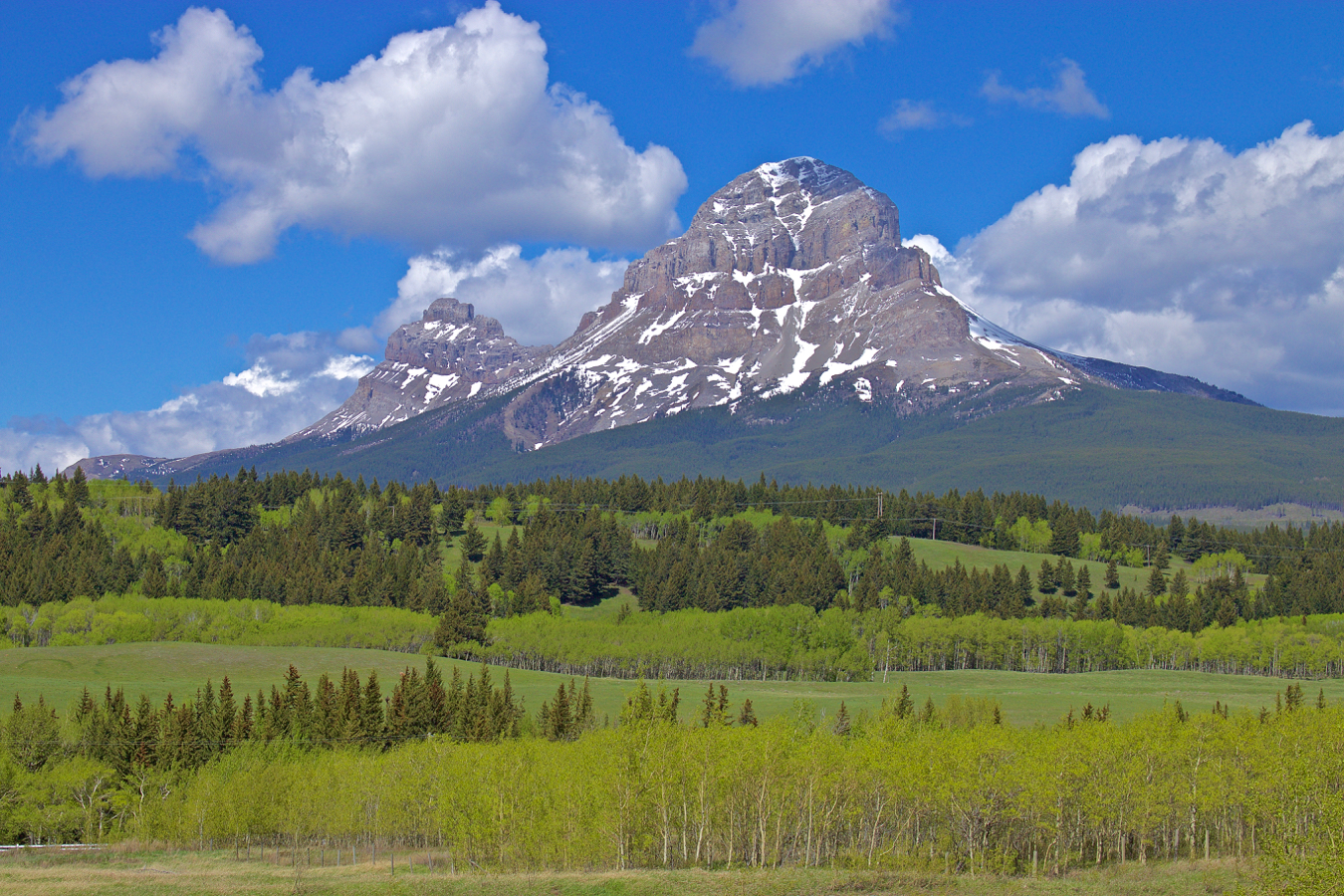
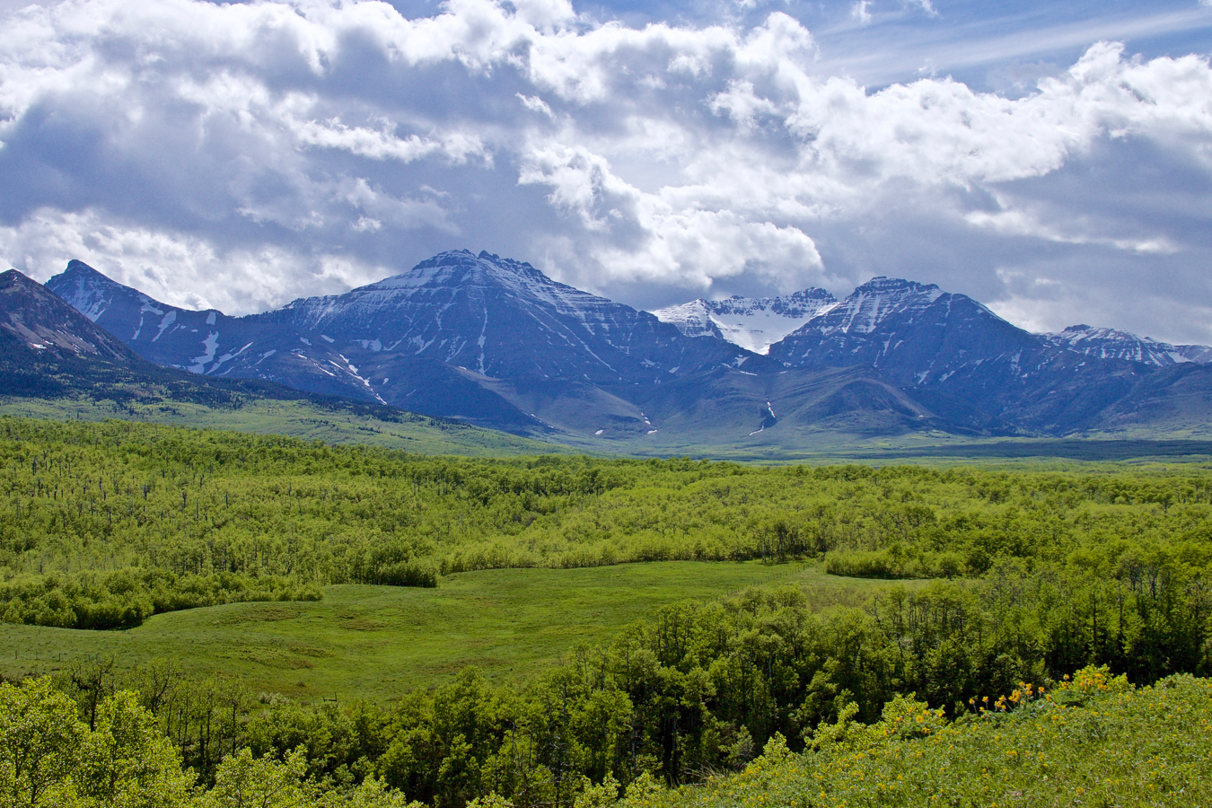
East of Fernie, my last visit to this region went back to June 1969 when I moved to BC from Manitoba. I was curious to see how much I remembered from so long ago, and to see how much the area might have changed over nearly half a century. I won’t bore you with my thoughts; just want to acknowledge that I don’t do a lot of looking back, but this trip was designed to see both the past and the present, the old and the new (to me/us)….
Upon thinking, overnight, about this post, I’ve decided to reduce the blather and focus more on fotos. Sadly, I wish I had stopped more often and spent more time recording places and scenes. We were focused on getting to our main birding destinations, I guess. Some of the most memorable moments didn’t lend themselves to being recorded, either. More on that in a bit….
Click any clustered photos to enlarge them.


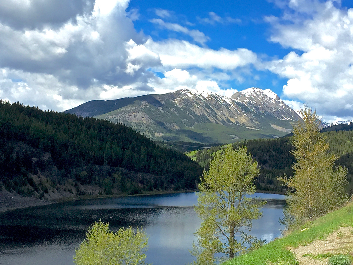


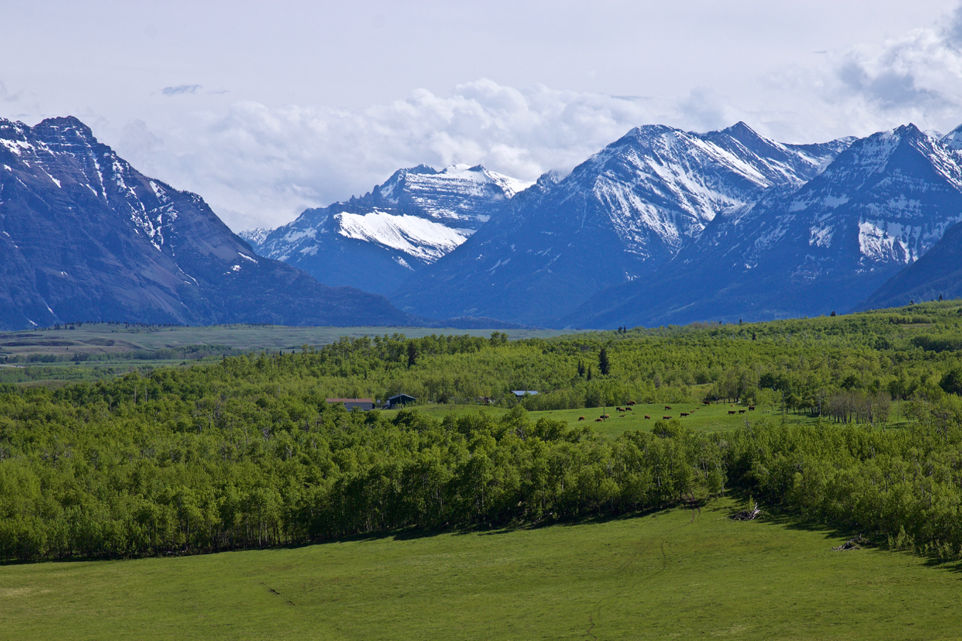
At the junction of Highways 3 and 6, we turned south and headed towards Waterton Lake. The wet weather we had been avoiding from BC appeared to be catching up, but we were cautiously optimistic that the sun and clouds on the Prairies would hold off the wet stuff and allow us to camp at Waterton Lakes.


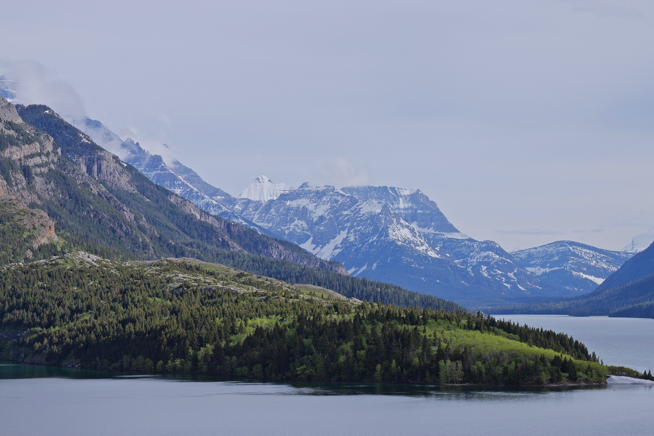
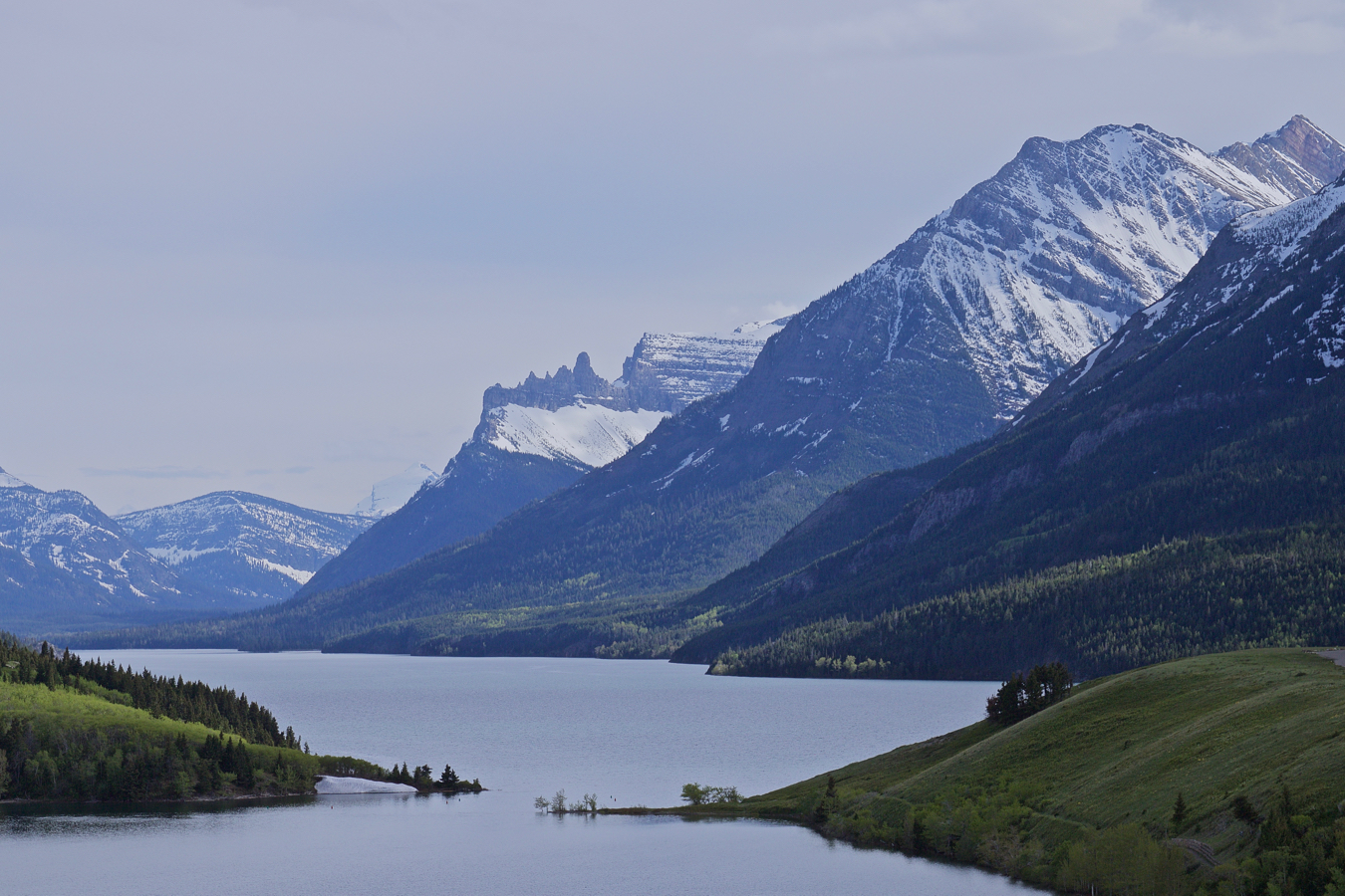
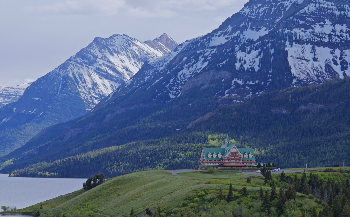
So we had arrived. We dithered over whether to camp here or not. I figured that we could drive another hour further east and be sure of avoiding rain. But we were so looking forward to enjoying this setting at least for an evening and a sunrise. We asked the young lady at the entrance to the campground if she thought it would rain that evening, if she had a good forecast, and she assured us we’d be okay. So, we chose a campsite, then drove back up the road to get some scenic shots of the lake and lodge.
When returned to set up our car-camp (for just the second time), the wind had picked up a little, and I thought I felt a drop or two, but shrugged it off.
About 10 minutes into the setting up process when the wind shifted from breeze to gale, the sky closed, but the rain clouds opened, and the deluge commenced. Cold, wet, and did I say WET and FREEZING, we were too far into set up to think of packing up, so we toughed it out…. OKAY, truth be told, I was devastated. Nana tooth setback in stride, and persevered while I visited the washroom.
The storm lasted about three hours. Inside the back of the SUV, thawed out and dry, we had an excellent dinner from the menu that Nana had prepared before we left home, and I marvelled at how amazing she is and how lucky I am to have her as co-vivant. Somewhere before this trip ends, I hoped, I could make up for my inadequacies in this event.
In the middle of the night, I needed to “go out.” The stars were pokes through a film of high cloud, and although the temperature had fallen below freezing (May 25), oddly, the air didn’t feel cold. There was a crunch of frost on the grass, and when I shook the tarp pieces of ice fell off.
By morning, the sun was blazing, but it took a couple hours before the temperature rose above 0ºC. There was lots of ice to shake off the tarp and tent, and it took some time for them to dry out before we packed up. Nana loved the lake and campground.
Didn’t see many birds, but didn’t look very hard, either. As we departed, Nana vowed to return under “guaranteed good weather.” I wasn’t so sure. Many days later, however, having viewed impressive photos posted by a Flickr friend who went through this area a week after us, I have to feel that Waterton Lakes NP hasn’t seen the last of K&N yet….

